- Expeditions
By Region
By Month
By Grade
By Height
- Treks
- UK & Alpine
- Schools
- Hire
- News
- Shop
Intro to navigation course. May '15
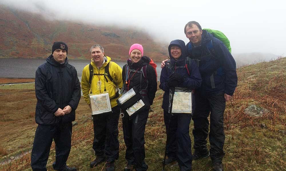
Course: Intro to navigation
Instructor and course report: Nathan Hughes
Karen, Martin, Reuben, Nigel and Gillian joined us on a rather damp weekend to brush up on navigation skills, and aiming to become self sufficient in the mountains with confidence to navigate unknown routes. Also, this was Nigel’s first experience of the Lake District and to the beauty of the area.
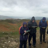
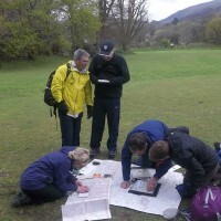
We began at Rothay Park looking at local information that can be gained by looking at contour features on the map and symbols that can allow you to build up a picture of the ground in your mind. We spent the end of the morning and the afternoon on Loughrigg Fell navigating in pairs to various points around the fell. Using the techniques that we had learned in the park to establish where they were on the maps and the direction that they wanted to travel in. Next we accurately located several small tarns, wall junctions and hillocks amongst the navigational labyrinth available to us on top of Loughrigg.
The Day ended in the relative warmth of the walkers shop looking over some different types of maps and even a little homework for the team to look at over dinner or in the pub.
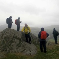
The Second day we all woke to the unwelcome sound of heavy rain on the windows, however everyone managed to find the meeting point in Grasmere. We then proceeded to head up towards Lang Howe West of Grasmere and worked around the tops in very quickly deteriorating conditions with vision down to only a few meters for a long period of time. Everyone had to really focus on where they were and the features that were appearing out of the mist around us. The team put in a great effort and managed to use the previous days skills to successfully navigate their way out of the mist and down to Easedale Tarn and finally back into Grasmere itself.
A very successful course for everyone involved with definite improvements for the team. Continual practice will enable everyone to enjoy the freedom on the fells that comes with confident navigation.

