- Expeditions
By Region
By Month
By Grade
By Height
- Treks
- UK & Alpine
- Schools
- Hire
- News
- Shop
- Contact
¡Arriba Mexico! - Mexican Volcanoes Trip Report
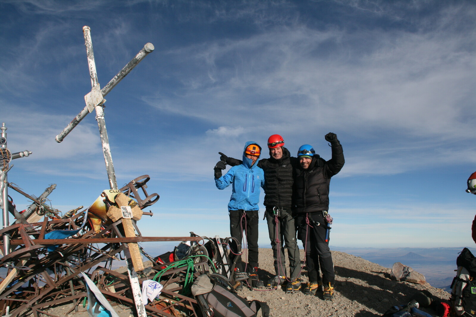
Mexican Volcanoes Expedition, January 2017
¡Arriba Mexico!
Here we are after a successful first Adventure Peaks trip to Mexico. To be honest, it wasn’t until I started preparing for the trip and doing some background reading on Mexico, did I realise what a varied country Mexico is. The trip Adventure Peaks has put together offers you an insight into Mexico’s amazing history and culture whilst combining it with ascents of two stunning volcanoes, La Malinche and Pico de Orizaba in an 8 day itinerary. Our aim was to create a short trip as a continuation to Elbrus, Damavand and similar trips that fit into one week (9 days Saturday to Saturday).
I arrived late Saturday evening; John arrived ahead of me, at 5pm, despite several weather delays with his flights from the US. Our hotel was located in a quiet area on the outskirts of the Historic Centre of Mexico City and offered us good food and a restful night, after a long flight from the UK, at the start of our adventure. Before we turned in we double checked we had all the necessary kit for our climbs.
Despite the tiredness from the long flight I still woke up at 3am, with my body still operating on UK time thinking I’d had a lie in, but with the 6 hour time difference I still had another 5 hours in bed before I actually had to get up, which is always a good feeling.
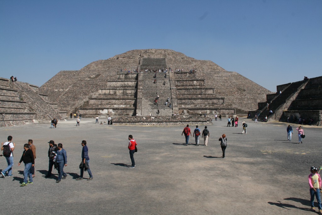
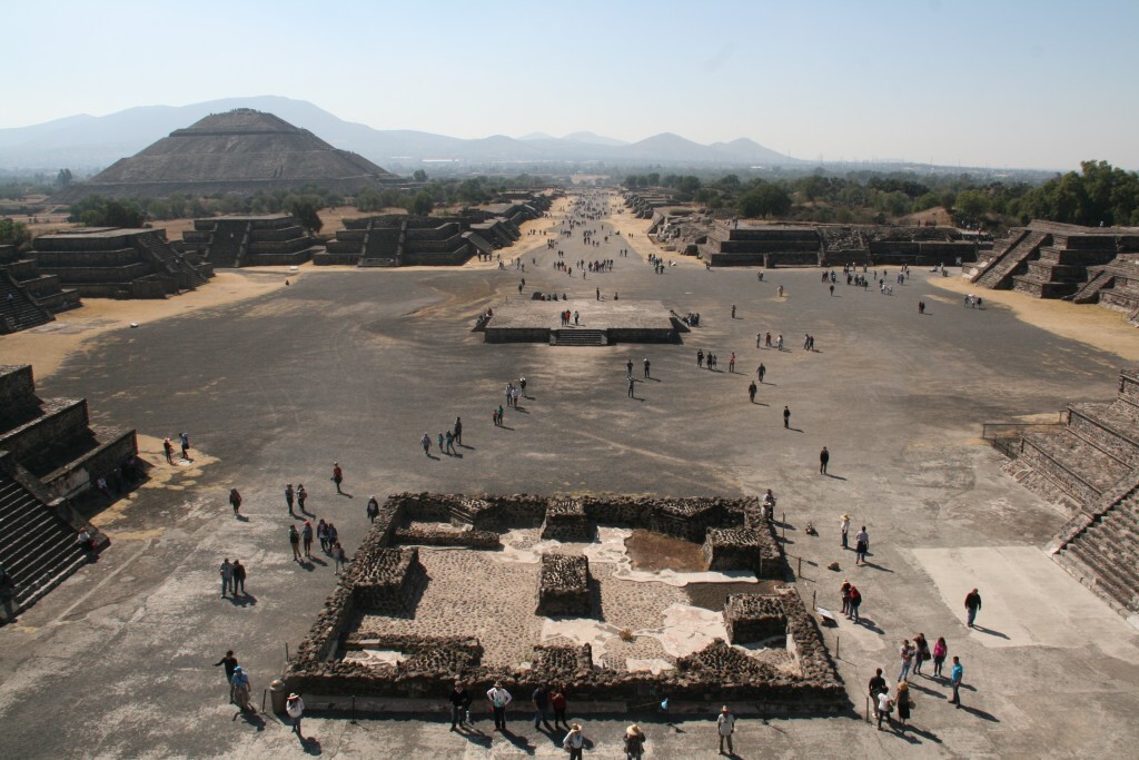
Mexico City is around 2200m above sea level, so right from the start we needed to take things relatively easy to get adjusted to the change in altitude. After breakfast we drove North of Mexico City to one of the most impressive cities of the ancient world, the pre-Aztec, pre-Christian, city of Teotihuacán, which means “the place where men become gods”. Not a lot is known about the people who founded this city. Here we spent a couple of hours climbing the pyramids and looking around the site and to me, although the Great Pyramid of Giza stands impressively at almost double the height of the Pyramid of the Sun, the largest pyramid at Teotihuacán, the distance at the base is the same; what is more striking at Teotihuacán is the complex of buildings and causeway (Avenue of the Dead) that link the pyramids together. It’s believed, at its peak, the city housed around 125,000 people and covered an area of 20 sq km, but eventually was destroyed and abandoned as late as 650AD. In the 14th Century the Aztecs founded what is now known as modern Mexico City and held Teotihuacán as a sacred place. Although it can be busy at the weekend it’s well worth paying a visit.
Once we’d had our fill of the pyramids we made our way over to Malintzi, about a 3 hour drive across the flat plains. Malintzi is a government-run holiday retreat at the foot of La Malinche, our first peak and objective for the next day. La Malinche is named after the mistress of the Spanish Conquistador Hernán Cortés; however the local name is Matlicuhyell which translates to “The lady with the green skirt”, the green skirt being the forest that surrounds the base of the mountain up to a height of around 3800m.
As it was Sunday afternoon most of the local families had returned home, so we practically had the place to ourselves. Malintzi sits at just over 3000m, so once again we take it easy as our bodies played catch up. We had lunch in the restaurant and then decided to have an easy walk through the forest up to a height of 3450m. Even at this height we were certainly out of breath, but felt good with our progress. By the time we got back down to the cabin our local guide had arrived and we made our introductions and got down to planning the next day before going for our evening meal at the restaurant. The cabins at Malintzi are very comfortable with toilets and showers and proper beds, so nice to come back to after a day on the hill. The weather forecast was looking great and the restaurant was going to provide us with a packed lunch for our ascent.
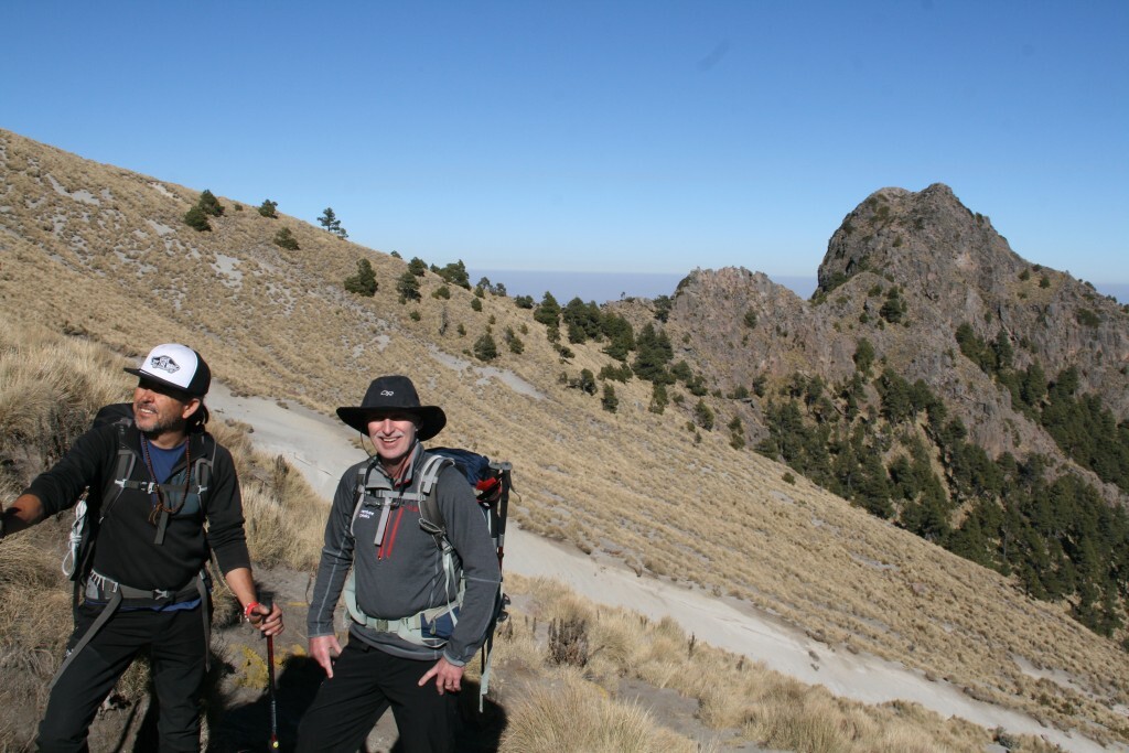
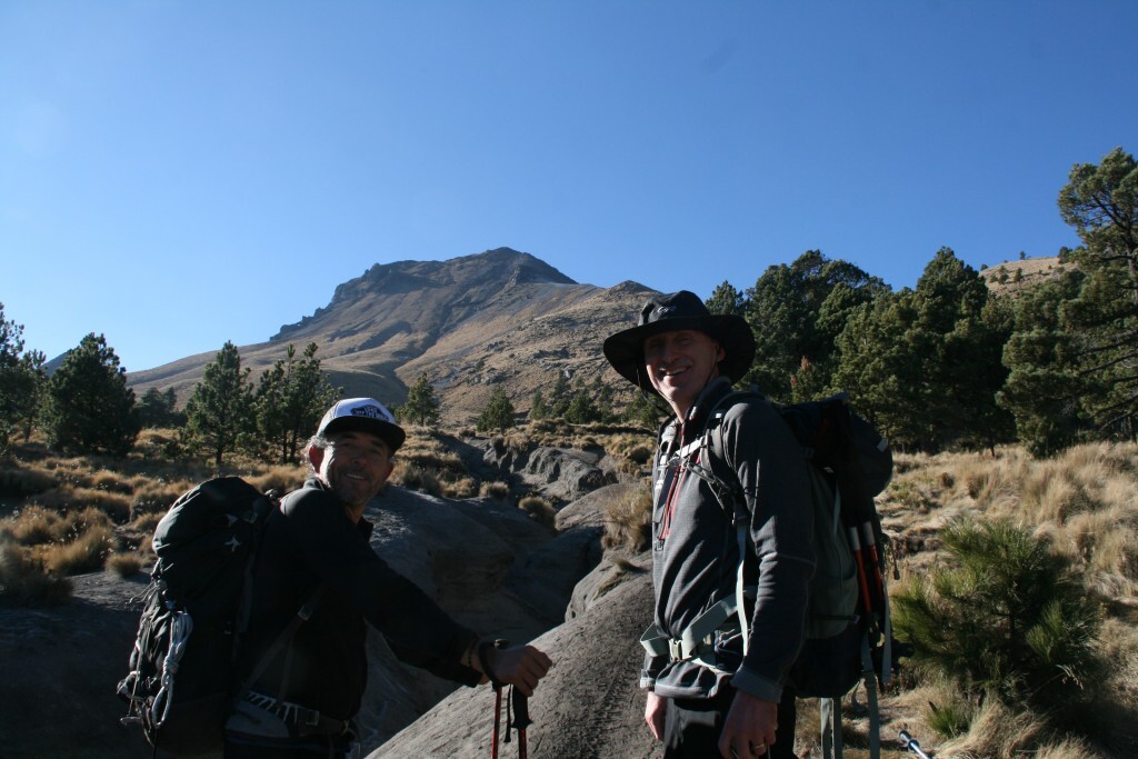
Breakfasted, we were on our way by 7:30am. 1400m height gain and 14km round trip, sounds a reasonably big day at altitude, well it is, and a lot of these high volcanoes have similar ascents, however with a steady pace it’s surprising how easily you can make progress. The path through the trees does feel like it goes on for a bit, because you constantly want to see the peak. Once you break through the treeline at around 3800m, you feel a sense of great progress because now the summit looks suddenly closer and you are over halfway in ascent. The path works its way up to a col between a small promontory and the summit ridge of La Malinche. From the col the route starts to steepen up gradually as you gain height, until a final short scramble on good rock to reach the summit of La Malinche.
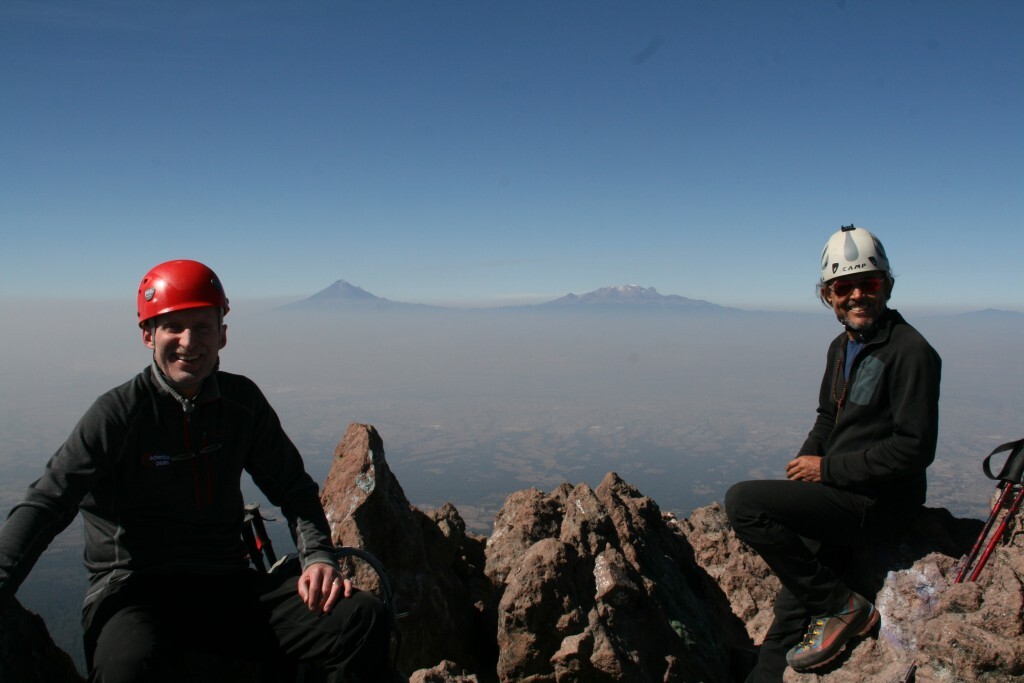
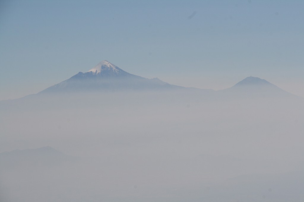
From the summit the views are impressive; to the West across the plains you have Popocatepetl 5465m (known locally as Popo) “Smoking Mountain”, which is still active, and Iztaccihuatl 5230m (known locally as Izta) “Sleeping Lady”. This is the second peak Adventure Peaks climbs in the longer itinerary. To the East the view is dominated by the grand Pico de Orizaba, our final objective for the trip. The weather was so good we spent an hour at the summit having lunch and relaxing before we decided to head back down to Malintzi for a slap up meal in the restaurant and another night in the cabins. Round trip with stops was approximately 7 hours.
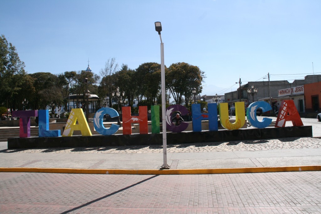
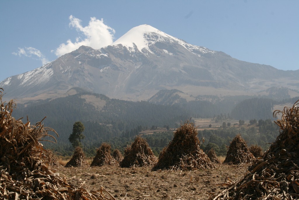
The next morning we drove east to Tlachichuca where we stopped for a snack. We raided a local store, looking for the hottest crisps/nachos we could find and came to the conclusion that they were all actually really good; nothing was destined to blow our heads off… thankfully. While in Tlachichuca we also grabbed an opportunity to take some pictures around the village plaza, trying to capture some views of the town with Orizaba in the background. Eventually it was time to move on, so we drove to our agent’s lodge where we had lunch, while waiting for the 4×4 vehicle to arrive. For the final part of the road trip, we had the opportunity to wander up the street to the cornfields and got some impressive, unimpeded views of Orizaba.
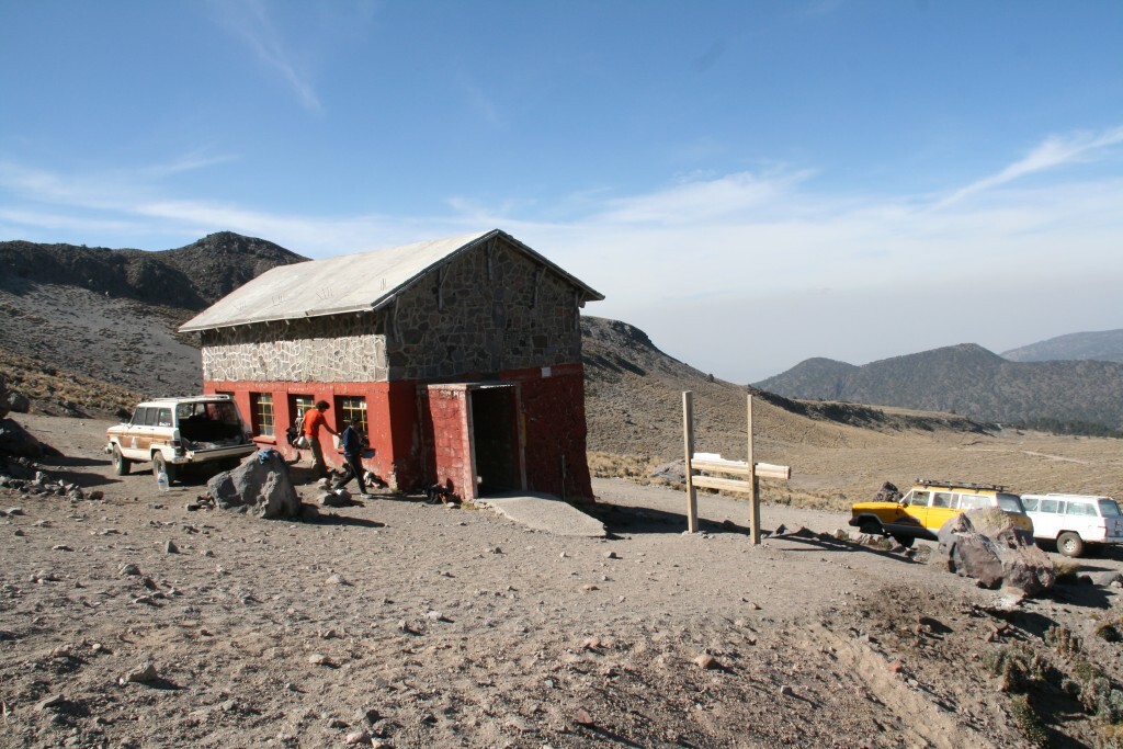
Once we had loaded up the 4×4 we made the final hour and a half journey along very bumpy and dusty dirt trails up to Piedra Grande, the refuge used for our ascent of Pico de Orizaba. The refuge is located at 4270m on the Northern flank of Pico de Orizaba at the side of a deep ravine. Years ago the ravine was used as a source for an aqueduct project in the local area, however the ravine is very unstable, particularly further up the mountain and as a result the aqueduct became unusable.
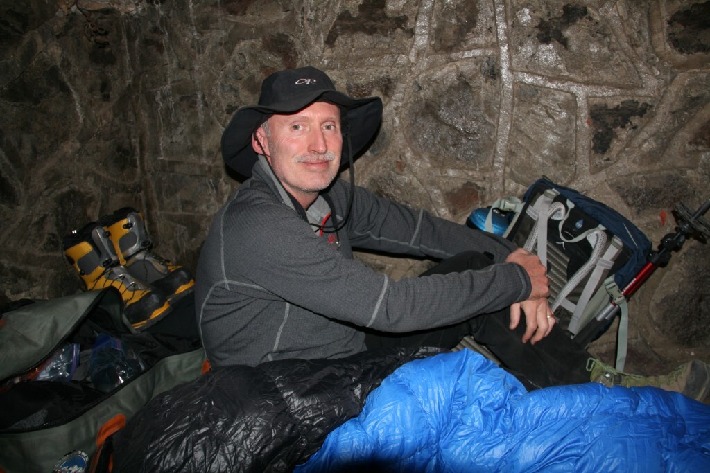
Piedra Grande is basic with three levels of wooden boarded sleeping bunks and two large tables for cooking on, but it offers great protection from the elements and as you can drive all the way up to the hut all water is transported up and the food is fresh.
We claimed our spaces on the bunks and sorted out all our kit before we went for a wander around the area for a bit of acclimatisation. After 10 minutes following the main path that works its way up to the glacier we broke off along the disused aqueduct that contours West below and around a buttress and taking us onto a small promontory 100m vertically above the refuge. After 6pm in the refuge it’s quiet time, to allow teams making summit bids that night, time to rest before departing in the early hours of the morning.
The next day was our planned acclimatisation day before making our summit bid. The initial plan was to walk up to the height of one of the camps above the refuge at around 4800m, however as most teams tend not to use the camps anymore we decided to push all the way up to the glacier at just over 5000m in order to give us a better view of what lay ahead on our summit day and also a decent view of the glacier itself. After breakfast we set out with packed lunch, helmet, ice axe and crampons. We made good progress and made it to the lowest camp in a relatively short time. Just after the camp we donned our crampons. Depending on conditions the route can go one of two ways: The Canalon or The Labarinth. The Canalon is the more direct option, but can be prone to black ice if conditions are lean. The Labyrinth can add on a further 40 minutes to ascent and descent, but is a safer option in poor conditions. Thankfully for us there was still quite a lot of snow around from December, so conditions in the Canalon were perfect. We worked our way past the second and third camps at 4700m and 4950m respectively, but as we worked our way up above Camp 2 the cloud started to close in. We reached the glacier in around 3 hours which we were more than happy with, but sadly the views above were limited. From what we could see the glacier was in good condition with perfect nevé underfoot. The return journey to the refuge was straight forward and took a couple hours.
The next day was a rest day, but we were keen to still do a little bit of exploring, so we decided to venture down into the ravine, which was very loose scree mixed with permafrost. Once we got across to the other side, it was much easier to climb out on stable ground; we found a little rock fortress where we could hang out and watch the world go by while tucking into our packed lunches.
Finally it was our summit night and it was just typical – the extremely stable weather we had all week changed to strong gusts. Thankfully it was still a clear night and the route up to the glacier was well protected from the wind, but the glacier would be exposed to the elements. This was our opportunity so we had to make the most of it; water bottles were filled, rucksacks packed, breakfast consumed and away by 01:40 hrs.
It always feels like progress is slowed in the dark, views are limited to the beam of your torch, people hunker down into their warm jackets; conversations are muted as the focus and determination take control; you bide your time finding ways to stay warm until first light starts to appear. We made excellent progress up to the glacier in 3 hours; we had a bite to eat, geared up and ventured onto the slope. The wind was gusting at 40-45mph and was biting on the face when you walked into it. We had 600m left to climb and 2 hours before the sun would reach us.
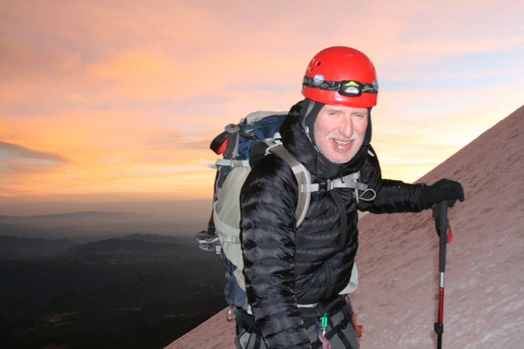
We zigzagged our way up the slope making steady progress, continually looking up to see if we were getting any closer. In the dark it’s difficult to judge vertical progress, so you start looking at your altimeter to see how quickly you’re gaining height, it always feels it’s not quick enough, but you just have to stick at it. Another zig, another zag, then out of the corner of your eye you start to notice subtle changes of colour in the sky to the East. Seeing the start of daylight breakthrough is one of the best experiences you can have high up on a mountain; watching the sky change from black to indigo to purple to blue combined with clouds being set on fire by the orange of the sun creeping over the horizon.
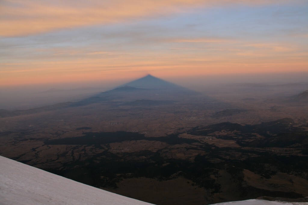
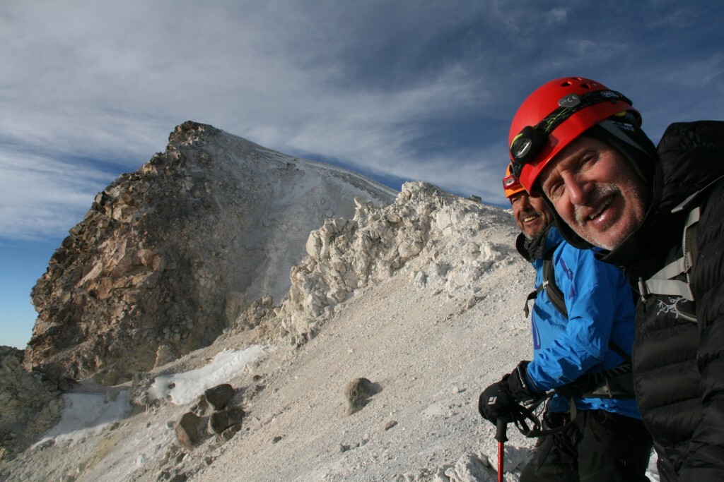
Looking to the West you see the shadow of the mountain growing more defined, cast as far as the eye can see across Mexico while the sun is still low in the East. This is one of the spectacles that keeps me climbing big mountains. Looking up, in the brightening sky we can see we are not far away from the top. Just a few more zigzags and we’ll be there, but just when I thought we were about to head for the summit our local guide shouts over the noise of the wind and says “We go this way” pointing in a different direction. I didn’t quite understand but went with it. It wasn’t until we reached the crater rim did I realise why we took this slight diversion. We were rewarded with the views across the crater to distant misty lower peaks and then looking up right we had a wonderful finale to our climb around the crater rim to the highest point in Mexico and North America’s highest volcano.
Our time in Mexico was enjoyable and successful, so what next? For this trip we have decided to add a third peak into the itinerary, Izta, (or full name Iztaccíhuatl) and make the expedition eleven days, the same length as Elbrus. View the new Mexican Volcanoes itinerary here.
Considering future alternative trips, the ultimate Volcanic Adventure must be to Kamchatka, the land of fire and the most volcanically active place in the world. You may also want to tackle the remaining ‘Seven Volcanic Summits’, the highest volcano on each continent…
Mt Giluwe in Papua New Guinea, the undiscovered world; Mt Sidley in the remote parts of Antarctica; Elbrus; Damavand; Kilimanjaro; or the highest volcano in the world, Ojos del Salado. At just 84 metres lower than the often crowded peak of Aconcagua, you are likely to have Ojos to yourself. All can be climbed in less than two weeks each.
Stu Peacock

About Stu Peacock
Stu Peacock is a very experienced high altitude mountaineer who has been to the Summit of Everest, Broad Peak, Cho Oyu, Manaslu and climbed on K2. His other expeditions include: Ama Dablam, Annapurna IV, Peak Lenin, Aconcagua, Khan Tengri, Tien Shan Unclimbed, Korzhenevskaya, Himlung Himal, Baruntse, Mera & Island Peak, Alpamayo, Bolivian Peaks, Spantik, Carstensz Pyramid, Elbrus, MtArarat, Mexican Volcanoes, Mt Kenya and Kilimanjaro. He was the first Brit to summit Everest via the North Ridge 3 times and has climbed Everest from both the North & South sides.

